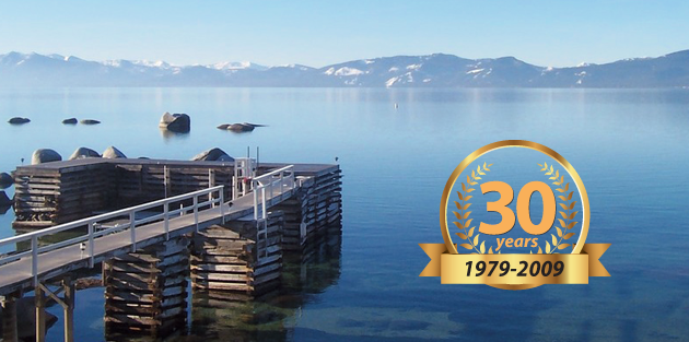
East Lake Tahoe Hiking Trails
East Lake Tahoe offers many options for exploring the Carson Range instead of the Sierra Crest that dominates the other side of the lake. Here we have listed some of the most interesting trails for a variety of difficulties.
WILDFLOWER TRAILS
Marlette Lake
Trail Length: 5 miles each way
Flowers: Various Lavender types, Pink Yarrow and Pink Bog Mallow
Vertical: 1200 feet
Difficulty: Moderate to Difficult
Duration: 4.5 hours
Trailhead Location: From North Lake Tahoe take Hwy 28 south to Spooner Lake. The trailhead is at the parking lot for the lake.
Notes: There is a separate trail for mountain bikers, so be aware and be sure you are on the one designated for hiking/equestrian activities.
Prey Meadows
Trail Length: 1.5 miles each way
Flowers: Many varieties of wildflowers.
Vertical: 600 feet
Difficulty: Easy
Duration: N/A
Trailhead Location: From North Lake Tahoe take Hwy 28 south approximately 10-11 miles. When you see an iron gate on the west side of the road, park in one of the turnouts nearby without blocking the gate. After walking past the gate a while, you will approach a fork in the road. Take the left fork (the other direction leads to Skunk Harbor, described below).
Notes: An old railway runs along the trail, which was a supply timber route to Virginia City in the 1800′s.
HIKING TRAILS
Skunk Harbor
Trail Length: 3 miles round trip
Vertical: 570 feet
Difficulty: Easy to Moderate
Duration: N/A
Trailhead Location: Coming from Incline Village/North Lake Tahoe take Highway 28 South for around 10 miles. Then, park in one of the turnouts when you see an iron gate on the west side of the highway. Do not block the gate. Once on the trail you will find a fork in the road, to which you take a right (a left will take you to Prey Meadows as listed in the Wildflower Trails section above).
Ophir Creek Trail
Trail Length: 3 miles round trip (the full length of the trail is 8 miles each way, so it is recommended to hike as far as you wish and return. This description assumes a 3 mile round trip).
Vertical: 400 feet
Difficulty: Moderate
Duration: 1.5 hours
Trailhead Location: From North Lake Tahoe take Hwy 431 North. About a mile before the Mt. Rose summit, look for the parking area on the right. It has a restroom as well. Start on the Tahoe Rim Trail and follow the sign for the turn onto Orphir Creek Trail. Go as far as you like before returning.
Notes: Mountain bikers do use this trail as well. They are only allowed on even days, although that rule is not always followed.
Spooner Summit to Snow Valley
Trail Length: 12.4 miles round trip
Vertical: 2,900 feet
Difficulty: Moderate to Difficult
Duration: 7 hours
Trailhead Location: From North Lake Tahoe take Hwy 28 to Hwy 50 East. Less than a mile after the junction of 28 and 50, the Tahoe Rim Trail parking lot is located on the North side of the road.
Notes: The first couple of miles offer only limited views, but the top of the trail makes up for this with wide and grand views.
Castle Rock
Trail Length: 2.5 miles round trip
Vertical: 550 feet
Difficulty: Moderate (see notes below)
Duration: 1-2 hours
Trailhead Location: From South Lake Tahoe drive up SR 207. Then turn left on North Benjamin Drive, which becomes Andria Drive. When Andria Drive ends, there is a US Forest Service gate. Go past this and park at the second gate down the hill. Follow the trail starting by going down Forest Service Road 13N80.
Notes: This short hike offers great views of Lake Tahoe from the top, although some technical climbing skills are necessary to reach the actual summit (4 class rock). However, there is a lower peak nearby that offers similar views.
Also see related articles on lodging options
Find Lake Tahoe Vacation Rentals
Find North Lake Tahoe Vacation Rentals
Find South Lake Tahoe Vacation Rentals

